gres
Full Member level 4

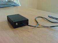
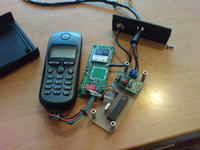
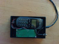
It's a simple positioning system. It works thanks to sending concrete sms number with link to map, longitude, latitude and current speed. Inside device is cell phone (Siemens M35) that sending sms.
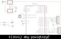
At the time when we want to check were vehicle is, we call to siemens. After first signal device disconnect us and after few seconds sending sms with data. Cellphone use inside aerial, gps is connected to outside aerial. Power is made up of two voltage converters ( to reduce resistance) 3,3V and 5V. Processor is Atmega8L clocking by outside rezonator 4Mhz.
Link is not directionall to google maps, because connection with google maps server is via our server by connecting with SLS System side **broken link removed** you can see how it looks. System doesn't have any extra function like turning off car engine because it's not the target of project. I wanted to save as much current as it's possible cause system is not plugged to acumulator. Maximum current take is about 40mA. When it sending sms or we calling, it rise to 100mA but for very short time. Phone is powered by system ( without battery). Phone is turning on every 5 minutes in case of accident when voltage droop is possible. So far tool work without any problems.
Here you have the same web as you will see on cellphone **broken link removed**
53.081906 , 21.566655 30.0 km/h
Map from cellphone

And diagram
 [/quote]
Original text is here http://www.elektroda.pl/rtvforum/topic1436235.html
